
What we deliver
Measurements from above, ready for design.
The drone takes hundreds of overlapping photos. With photogrammetry we turn them into maps and 3D models from which we derive levels, areas and distances.
01
Orthophoto
A scaled photographic map of the area or the plant from above, useful for layouts and checks.
02
3D terrain model
Levels, slopes and contour lines to design structures, internal roads and drainage.
03
Rooftop surveys
Dimensions, pitch and obstacles of industrial roofs, without climbing onto the roof.
04
Progress and as-built
Repeated flights during construction to check progress and document the finished plant.
From the field
The images the model is built from.
Nadir and oblique photos taken during a survey flight over a ground-mounted plant of the Medlab group in Turkey.
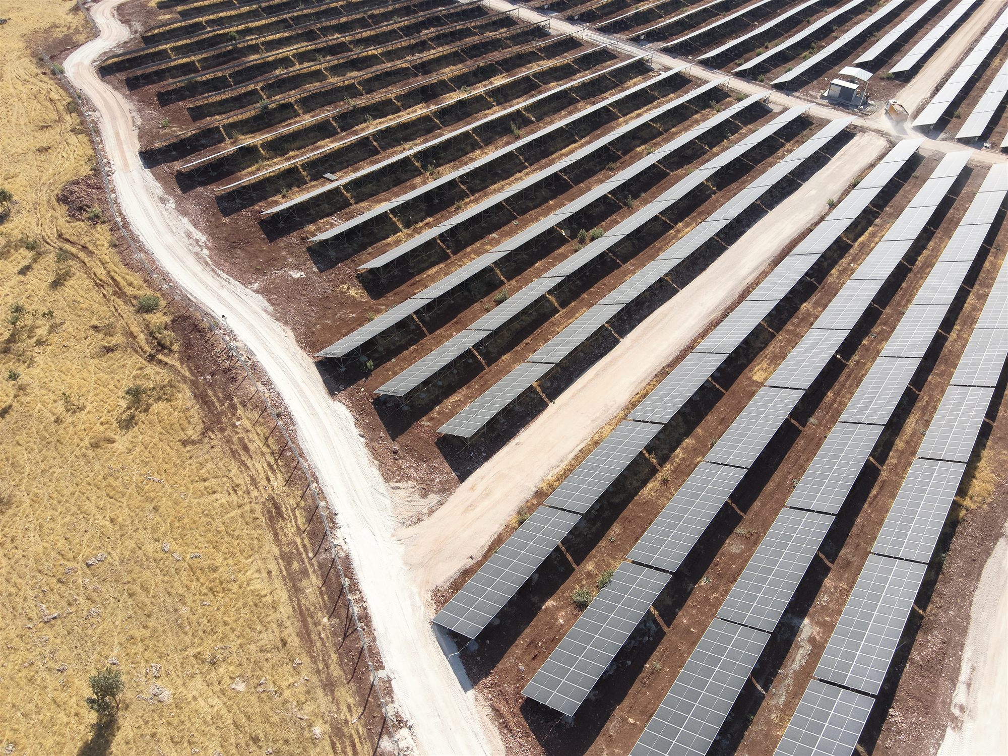
Oblique shot
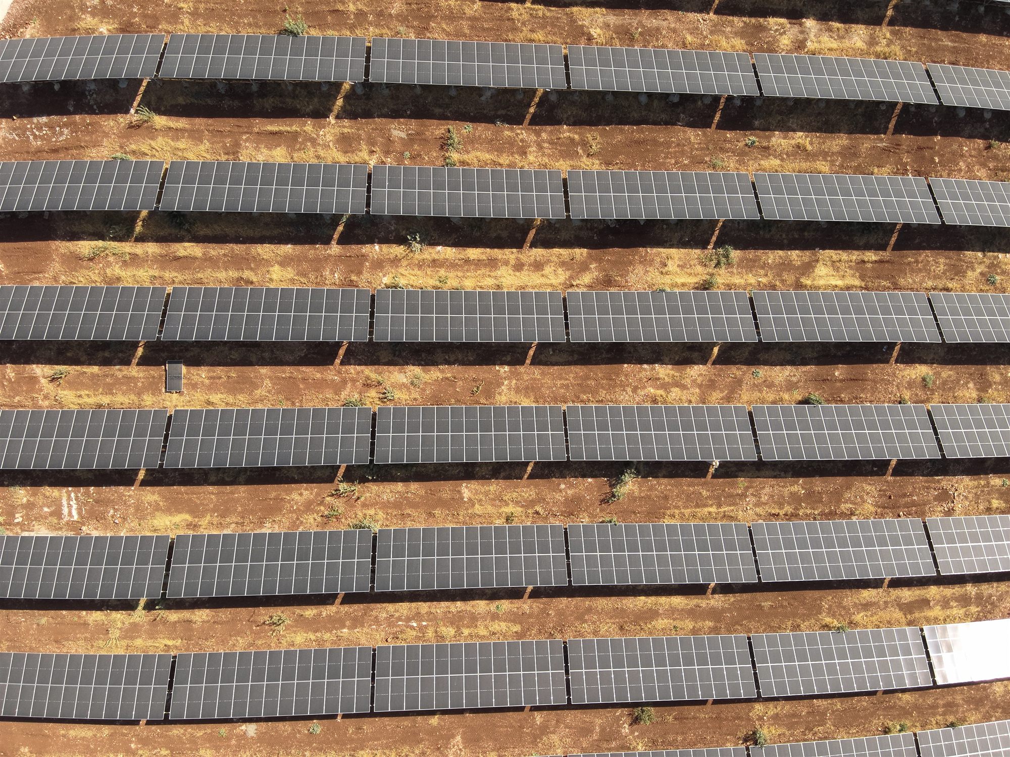
Nadir shot
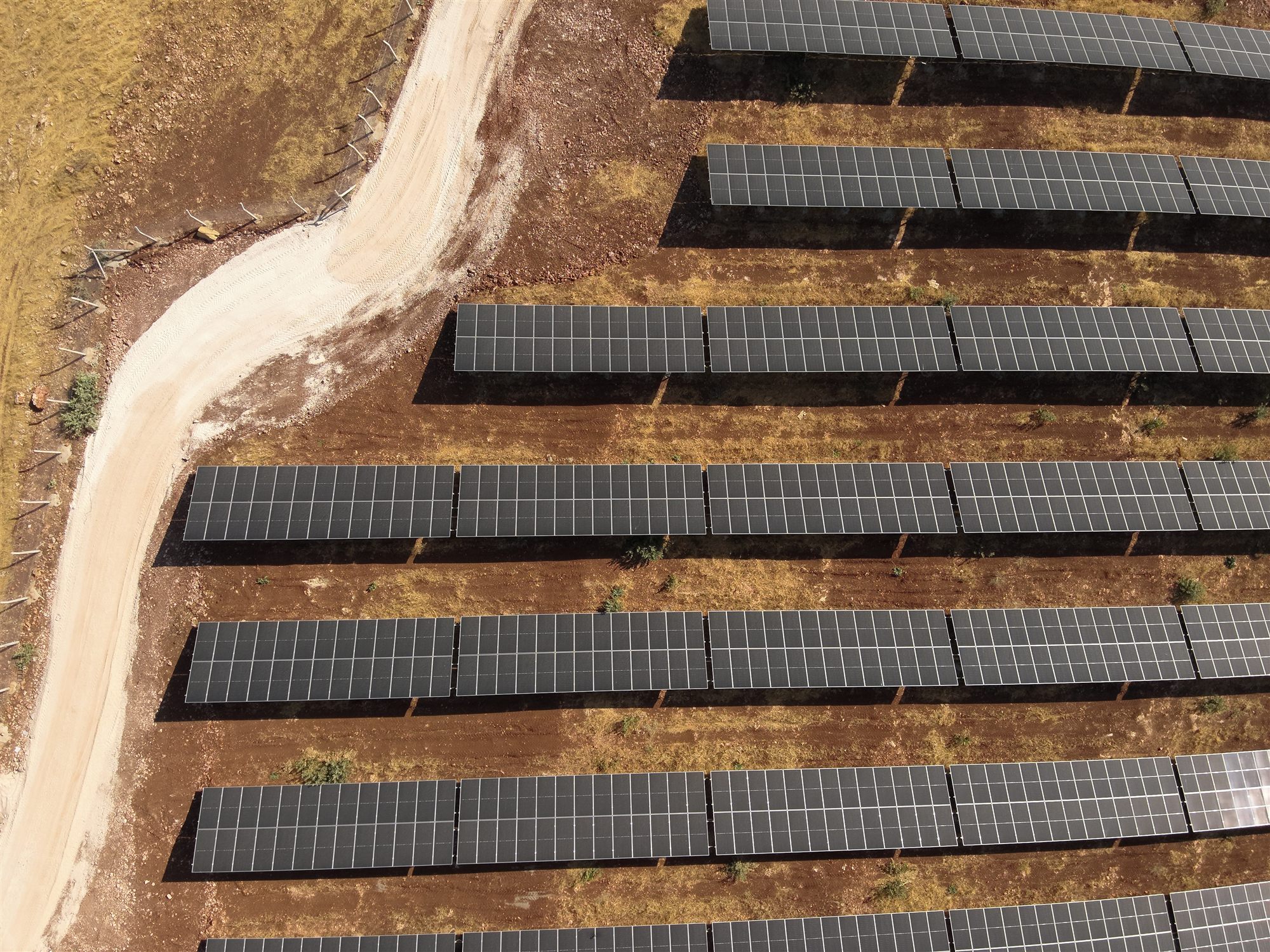
Nadir shot with service road
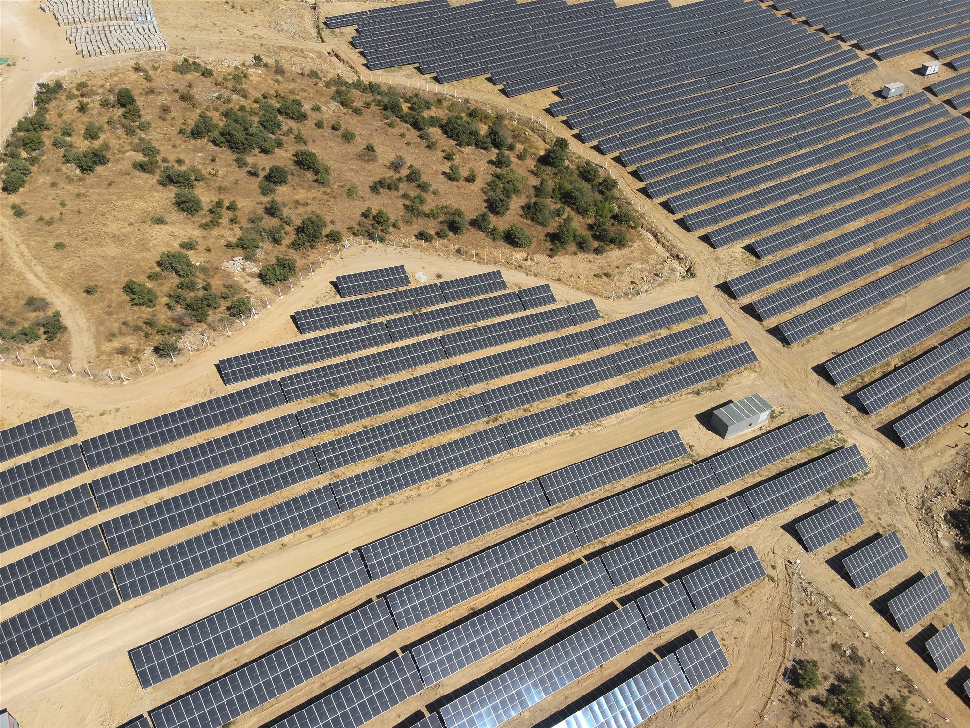
Panoramic view of the plant
Related services
Land or a rooftop to survey?
Send us the location and size of the area. We will tell you what we can survey and how long it takes.
Request a quote